For urban driving and avoiding traffic jams in Ljubljana, choose Waze. For planning longer journeys, finding points of interest, and reliable navigation through the Slovenian countryside, Google Maps is the better choice. Most experienced drivers eventually reach the same conclusion: both apps are worth having on your phone — you just need to know when to use each one.
- Waze: ideal for morning and afternoon rush hour, police alerts, and instant rerouting in the city.
- Google Maps: better for long-distance journeys (Ljubljana–Split, the Alps, the Balkans), offline navigation, and finding campsites, rest stops, and restaurants.
- Campervan motorhome renters: we recommend using Google Maps as your primary navigation app and Waze in the background for alerts. Rerouting through narrow side roads, which Waze often suggests, can be risky with a larger vehicle.
- Android Auto and Apple CarPlay support both apps, meaning this combination also works directly on the vehicle’s display.
Expert tip: Before setting off in a motorhome, download the offline map area for the entire region in Google Maps. Waze does not provide full functionality without mobile data, which can become a real problem on mountain passes or in Bosnia and Herzegovina.
Key Takeaways
For driving in Slovenia, neither app is better in every situation: Waze wins in the city during rush hour, while Google Maps is better for longer journeys, offline navigation, and motorhome travel.
| Point |
Details |
| Waze for city driving |
In Ljubljana and larger cities, it provides faster and more accurate alerts during rush hour. |
| Google Maps for longer journeys |
More stable navigation, offline downloads, and richer POI data for planning an entire route. |
| Motorhomes require Google Maps |
Waze rerouting through side roads is often unsuitable or potentially dangerous for larger vehicles. |
| The combination is optimal |
Waze in the background for alerts and Google Maps in the foreground for navigation, with both working through Android Auto and CarPlay. |
| Offline navigation is essential |
Waze does not work fully without data; Google Maps works offline when the relevant area has been downloaded in advance. |
Why I Always Keep Both Apps Open
Most discussions about which navigation app is better miss the point. The question isn’t Waze or Google Maps. The real question is when to use each one.
In practice, I’ve found that Google Maps becomes indispensable as soon as you leave a motorway or a major city. Finding a campsite in Goriška Brda, checking whether a petrol station in Bosnia is actually open, or determining whether the road through Vrsno is suitable for the length of your motorhome — none of these tasks work particularly well in Waze. Waze, however, is often 5–10 minutes more accurate than Google Maps during rush hour in Ljubljana, which is significant on short urban journeys.
What really bothers me about Waze is also what makes it so effective in cities: its aggressiveness. The algorithm doesn’t know that you’re driving a 6-metre-long motorhome with two children in the back and that the “shortcut” through Šentvid takes you across a narrow bridge. Google Maps is more conservative in this respect, and for Campervan motorhome renters, that conservatism is an advantage rather than a disadvantage.
My advice: set Google Maps as your primary navigation app for every motorhome journey. Download offline maps for every country along your route. Keep Waze running in the background for alerts. And before you even leave, check the route in Google Maps on a computer, where you have a much better overview of the entire journey than on a phone.
Useful Resources and Further Reading
If you want to explore the comparison in more depth or plan a specific motorhome journey, the following resources are a good starting point.
Plan your motorhome journey smart: download offline maps, keep Waze running for alerts, and book a motorhome with Campervan in Ljubljana for a carefree journey through Slovenia, the Alps, or the Balkans.
Table of Contents
Which App Is Better: Waze vs Google Maps
| Category |
Waze |
Google Maps |
Winner |
| Best for |
Urban driving, rush hour |
Route planning, tourism, motorhomes |
Depends on the situation |
| Routing philosophy |
Aggressive, side streets, minimising travel time |
Stable, main roads, reliability |
Google for larger vehicles |
| Real-time alerts |
Police, accidents, hazards (community reports) |
Traffic, road closures (passive data) |
Waze |
| Map and POI detail |
Basic, traffic-focused |
Extensive (Street View, reviews, opening hours) |
Google Maps |
| Offline navigation |
Not available (requires data) |
Downloadable areas for offline driving |
Google Maps |
| Integrations (Android Auto / CarPlay) |
Yes, both systems |
Yes, both systems |
Tie |
| Privacy |
Active community reporting |
Passive collection of aggregated data |
Depends on preference |
| Battery and data usage |
Higher (continuous reporting) |
Lower when the screen is off |
Google Maps |
| Local coverage in Slovenia |
Good in cities, less reliable in rural areas |
Reliable nationwide |
Google Maps |
Note for Slovenia: Waze has enough active users in Ljubljana and Maribor to provide useful alerts. On mountain passes such as Vršič and Predel and in remote parts of the Slovenian Littoral, community reports are less frequent, meaning Waze alerts are less reliable there. Google Maps covers the entire Slovenian road network, including smaller local roads and border crossings.
Why Do the Two Apps Often Suggest Different Routes?
Although both apps are owned by Google, they operate according to very different principles.
Differences in their algorithms and data sources are why they often suggest different routes and different arrival times for the same destination.
Waze builds its value around its community. Every driver using the app automatically contributes speed and location data. Users can also actively report police checks, accidents, objects on the road, and road closures. The algorithm incorporates these reports into route calculations almost immediately and can redirect drivers to a faster alternative, even if that means travelling through a residential neighbourhood. The result is often a shorter journey time in cities, but a route that is not necessarily suitable for every vehicle.
Google Maps works differently: it passively collects location data from millions of phones, processes it through multiple layers of machine learning, and prioritises stable, predictable routes. Rerouting still happens, but usually less frequently and less dramatically. For long-distance journeys, this is an advantage: the route remains sensible even when a small delay occurs.
A practical example: on the Ljubljana–Koper route, Waze may suggest a detour via Postojna or even smaller side roads during rush hour, while Google Maps will most likely keep you on the A1 motorway with a realistic estimate of the delay.
Expert tip: When driving a motorhome or larger vehicle, don’t blindly trust Waze’s aggressive rerouting. Side roads through villages can be narrow, have low bridges, or feature sharp bends. In Waze settings, enable the option to avoid narrow roads if it is available in your region.
How Do the Apps Actually Perform on Slovenian Roads?
Testing across two typical scenarios reveals clear differences.
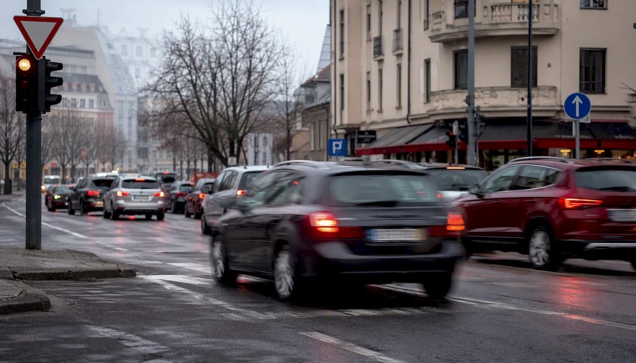
Urban Ljubljana: Waze performs well. During morning rush hour on the Šiška–City Centre route, the app detects congestion on Tivolska cesta and suggests a route through Rožna Dolina or Mirje, typically arriving 3–5 minutes earlier than the original route.
Instant community alerts about police checks on Dunajska cesta or Tržaška cesta are particularly useful here. Google Maps shows the delay but reroutes less frequently and is less precise about the exact cause.
 Long-distance journeys (Ljubljana–Dubrovnik, Ljubljana–Vienna):
 Google Maps is more reliable.
Practical tests show differences in estimated arrival times for the same destination ranging from a few minutes to around 15 minutes, depending on how aggressively Waze reroutes. On longer journeys, these reroutes often don’t save time, but they add uncertainty and can sometimes take you onto roads that are unsuitable for larger vehicles.
Special note for motorhome renters: Waze does not know the height, weight, or length of your vehicle unless you manually configure it in your profile. Rerouting through local streets is often unsuitable for a Mercedes V Marco Polo or Ford Transit Nugget Plus. Google Maps has better overall coverage of road restrictions, although we still recommend reviewing your route in advance.
- Waze is effective during rush hour in Ljubljana but less reliable outside the city.
- Google Maps on longer routes: more stable ETA and fewer surprises.
- For motorhomes: Google Maps as the primary app, Waze as a supplementary alert system.
- Mountain passes such as Vršič and Predel: both apps provide coverage, but check road opening status independently.
Expert tip: When travelling through the Balkans or Bosnia and Herzegovina, download offline maps in Google Maps for each country before leaving Slovenia. Mobile coverage can be poor on some sections, while Waze does not work without data.
Which Features Are Actually Useful in Each App?

Both apps provide alerts for police, accidents, and road hazards, but the difference lies in the speed and source of the information. Waze’s community reports arrive faster because alerts are actively submitted and visible to other users. Google Maps provides traffic information but does not offer the same level of detail regarding police checks.
Features where Waze leads:
- Real-time alerts for police and speed cameras.
- Reports of objects on the road, hazards, and road closures.
- Community confirmation of incidents (“thumbs up/down”).
- Voice settings and entertaining navigation voices.
Features where Google Maps leads:
- Street View for visually checking a destination before arrival.
- Offline downloads of entire regions or countries.
- Extensive POI database with reviews, opening hours, photos, and reservations.
- Multimodal navigation (walking, cycling, public transport).
- Integration with Gemini and the “Ask Maps” feature for natural-language searches.
Parking is an area where neither app is perfect. Google Maps shows parking locations and sometimes prices, but the information is not always up to date. Waze has basic integration with parking data in some cities, but this feature is limited in Slovenia.
Key insight: For a multi-hour motorhome journey, the combination is hard to beat. Use Google Maps for navigation and finding motorhome stops, and keep Waze running in the background for alerts. Neither app covers everything on its own.
Expert tip: Before a long journey, save an offline map for the entire region in Google Maps (Settings → Offline maps → Download). One download is sufficient for Slovenia; for Croatia or Bosnia and Herzegovina, add each country separately.
How to Set Up Android Auto and Apple CarPlay for Both Apps at the Same Time
Both apps work with
Android Auto and Apple CarPlay, meaning they can be displayed on the vehicle’s screen. Using them together requires a little setup, but it is worth it.
Steps for Android (Android Auto):
- Open Waze and set a destination or simply activate the app.
- Switch to Google Maps and set your navigation route.
- In Waze settings (Settings → Alerts and reports), make sure audio alerts are enabled.
- In your phone settings (Apps → Waze), allow background activity and disable battery optimisation for the app.
- Connect your phone to Android Auto. Google Maps will be active on the vehicle display, while Waze runs in the background and sends audio alerts through the vehicle speakers.
Steps for iPhone (Apple CarPlay):
- Open Waze and leave it active in the background.
- Switch to Google Maps for navigation.
- In iOS settings (Settings → Waze → Notifications), allow audio notifications.
- Connect your iPhone to CarPlay. Navigation will run through Google Maps while Waze provides police and hazard alerts.
Safety warning: Never operate apps while driving. Prepare all settings before departure. iOS or Android may close Waze in the background if the phone is under heavy load, has a low battery, or is running low on memory. We recommend charging your phone while driving and closing unnecessary apps.
Both apps are available free of charge on iOS and Android. Waze requires an active internet connection for full functionality, while Google Maps can work offline after downloading the relevant area.
What Data Do the Apps Collect and How Can You Protect Your Privacy?
Navigation apps collect data about location, speed, routes, and journey duration. The difference lies in how actively they do so.
Waze collects the location and speed of every driver using the app and shares this information with the wider community. When you report police activity or an accident, that information becomes visible to other users in real time. Waze stores route history and may link it to your Google account.
Google Maps collects location data passively without requiring active user reporting. The data feeds into Google’s ecosystem and is used to improve traffic predictions and personalise recommendations, such as restaurants and frequently visited places. The extent of data collection is significant, although it is less visible to the user.
- Turn off “Location History” in your Google Account settings if you do not want your journeys to be stored.
- In Waze settings (Privacy), disable sharing of route data with advertisers if you do not want this information used for advertising purposes.
- On Android: Settings → Apps → Waze/Maps → Permissions → Location → set to “Allow only while using the app”.
- On iOS: Settings → Privacy & Security → Location Services → set each app to “While Using the App”.
Expert tip: When travelling in a rented motorhome and connecting to public Wi-Fi at a campsite or petrol station, avoid allowing apps to automatically update or synchronise sensitive data. Mobile data is generally a safer option for navigation. Campervan recommends downloading all offline content at home or on a trusted network before your trip.
How to Choose the Right App Based on Who You Are
| Driver profile |
Recommended app |
Reason |
| Daily city driver |
Waze |
Faster alerts and better rerouting during rush hour |
| Tourist on a long-distance journey |
Google Maps |
Offline maps, POI, stable navigation |
| Motorhome renter |
Google Maps + Waze in the background |
Safer navigation on narrow roads, alerts without unnecessary rerouting |
| Rural / mountain-pass driver |
Google Maps |
Better coverage and offline functionality |
| Planning a journey in advance |
Google Maps |
Street View, reviews, multimodal directions |
Quick pre-drive checklist:
- Driving in a city during rush hour? Open Waze.
- Driving a motorhome or larger vehicle? Set Google Maps as your primary navigation app.
- Travelling abroad or into rural areas? Download the relevant offline map in Google Maps.
- Want police alerts on a longer journey? Keep Waze active in the background.
- Looking for a campsite, restaurant, or motorhome stop? Use Google Maps for search.
Advice for Campervan customers: When you pick up your
motorhome in Ljubljana, set Google Maps as your primary navigation app and download offline map areas for all countries along your route. Keep Waze running in the background for alerts. In Waze settings, disable automatic rerouting (or set it to “Ask me”) so the app does not unexpectedly change your route onto a narrow side road.
How We Tested: Tools, Measurements and Sources
Testing was carried out across three scenarios: urban driving in Ljubljana during morning and afternoon rush hour, longer journeys through Slovenia and neighbouring countries, and a simulated motorhome journey on selected road sections. Devices used were a Samsung Galaxy S23 (Android 14) and an iPhone 15 (iOS 17). We measured estimated arrival time, suggested route, and the number of reroutes for the same destination in both apps simultaneously.
- Scenarios: urban driving, intercity journeys, mountain passes, border roads.
- Measurements: ETA, route length, number of reroutes, quality of alerts.
- Sources: AutoGuide, PCMag, ZDNet, Tom’s Guide, HowToGeek, PCMag UK, local tests (eloutput.com).
Limitations: The quality of Waze alerts depends directly on the density of its user community in a given area. In sparsely populated parts of Slovenia or along border sections, reports are less frequent. The tests were conducted at different times of day, which affects traffic conditions and therefore the results.
Recommended